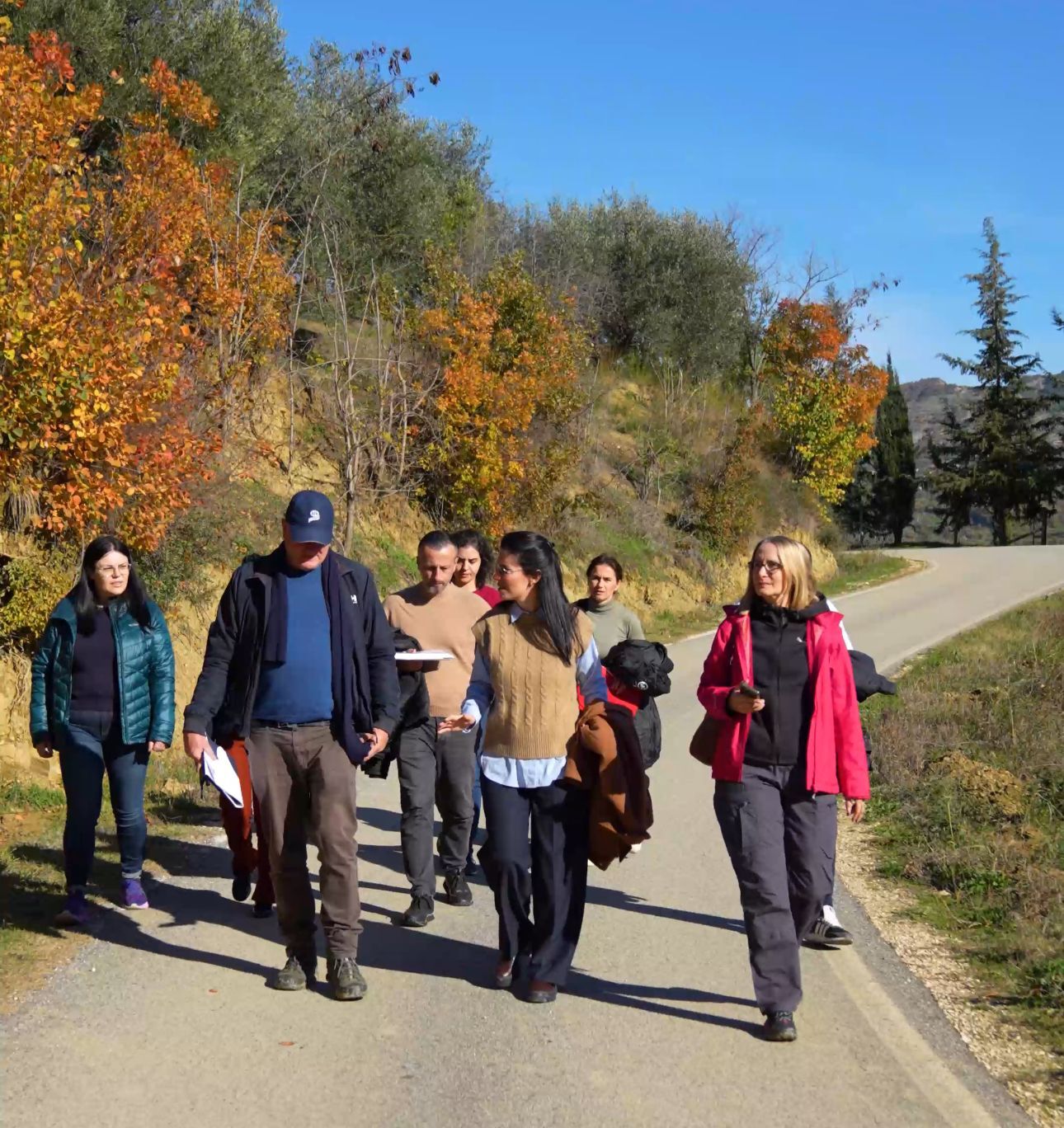
TWithin the LPIS pilot project, supported by experts from the European Commission’s Joint Research Centre (JRC), on site verification of digitized land parcels was carried out.
The team compared digital parcel boundaries with those on the ground, assessed agricultural land use, and used GPS devices for accurate measurements, accompanied by geotagged photographs.
LPIS (Land Parcel Identification System) is a digital system that ensures accurate and transparent management of agricultural funds.
This process represents an important step towards building a modern system aligned with European Union standards.